Yersaiyn Nagaspayev, the Minister of Industry and Construction of the Republic of Kazakhstan, reviewed in Ulytau region the progress in implementing the instructions given by the Head of State, Kassym‑Jomart Tokayev, to improve the geological exploration of Kazakhstan’s territory.
This year geological mapping at the scale of 1:50 000 (GS-50) has started on 20 sites across the country. The total covered area exceeds 100 000 km², and projects are being carried out in 11 regions. In the Ulytau region, comprehensive geological survey covers the area of 36,000 km² within 7 sites.
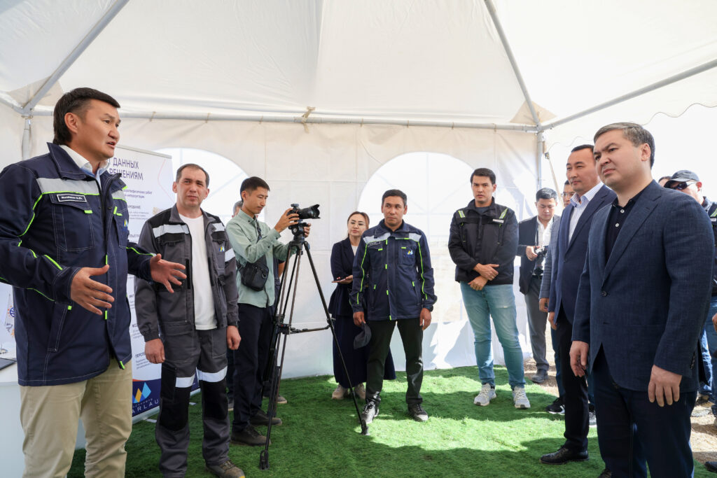
New approaches to airborne geophysical and exploration work were presented directly to the Minister at the research sites.
Specialists carry out comprehensive work supervised the Ministry, which includes interpreting data from Earth remote sensing, using unmanned aerogeophysical complexes, and applying the high‑precision geochemical Ionic Leach method.
“Full‑scale work on the geological study of subsoil resources is one of the key strategic tasks set by the Head of State, Kassym‑Jomart Kemelevich Tokayev, for the Ministry and the industry as a whole. Our main task is to ensure the acquisition of high‑quality geological information. The inflow of investment in geological exploration and the development of industrial sectors directly depend on this,” Yersaiyn Nagaspayev underlined.
As part of realization of the State Geological Subsoil Study program (SGSS), a group of geological exploration companies has been formed under the supervision of National Geological Service JSC.
Kazakhmys Barlau LLP conducts advanced airborne geophysical surveys in the Ulytau region, including aeromagnetic surveys, airborne gamma spectrometry, and airborne gravimetry. These methods make it possible to obtain geophysical information over vast areas in a short period of time and to assess promptly the potential of the surveyed areas. In addition, about 300 wells have been drilled in the Ulytau and Abai regions.
Kazgeology JSC, a member company of JSC NMC Tau-Ken Samruk, carries out similar research using modern unmanned aerial vehicles equipped with high-precision RTK navigation systems.
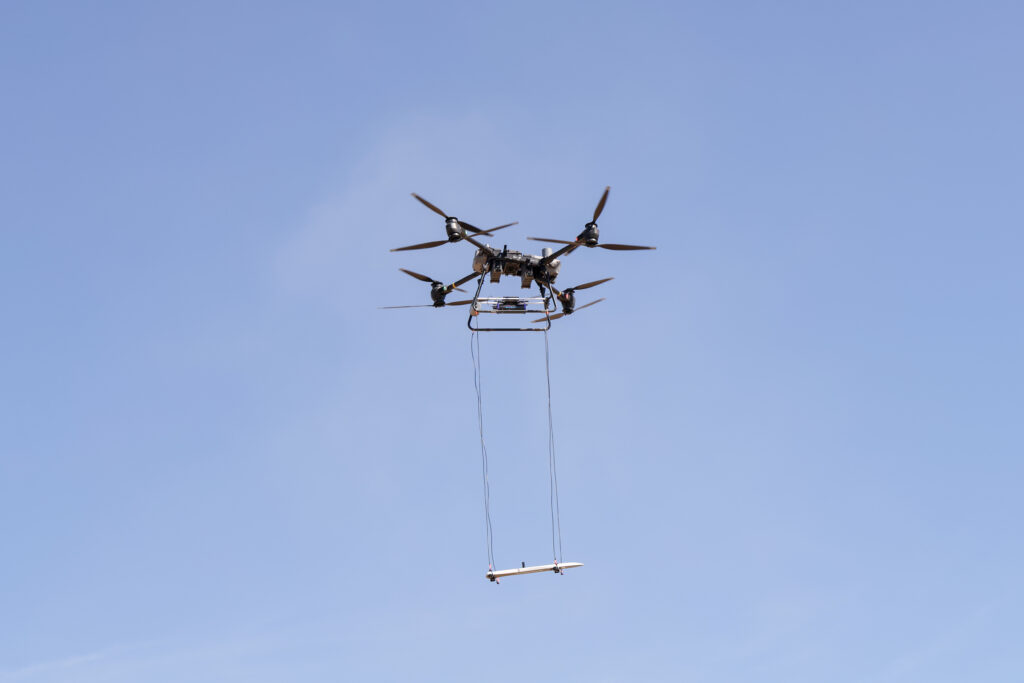
Kazgeology is actively implementing digital technologies. Today, we are conducting aerogeophysical surveys using unmanned systems. For this purpose, digital flight maps are created in advance, while high‑precision navigation allows the drones to follow automatically the set routes. Specialists monitor the flight and the continuity of geophysical data collection from the entire surveyed area in real time. This ensures the accuracy and quality of geological exploration, Dauren Abuov, the General Director of Kazgeology JSC, noted.
In addition, a unified digital subsoil cadaster is being formed under the SGSS program, which provides for the creation of an electronic certificate for each perspective site. This will improve the transparency and accessibility of geological information and reduce the time of its processing and preparation.
The first prospective areas are scheduled to put up for auction to investors from 2027.
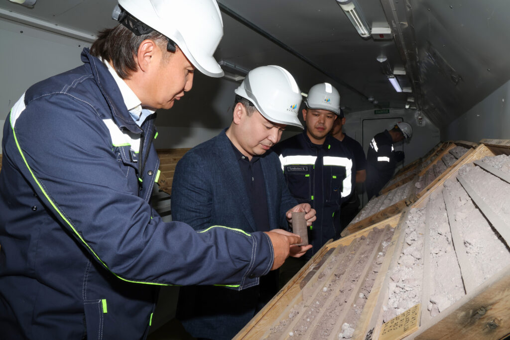
While visiting the Geological Cluster, the Minister also got acquainted with the work on establishing a full operational cycle, which includes core reception and storage, laboratory and geophysical research, and more. The cluster is one of the largest scientific, production, and educational complexes in Central Asia.
Following the working visit, Yersaiyn Nagaspayev gave a number of instructions on the high-quality execution of work, and compliance with established volumes and deadlines.